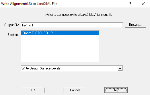
Alignment File Format
This is a standard XML file format, with data format defined by the LandXML standard.
This is a sample of some Alignment file data
  <Alignments>
    <Alignment name="R3L" staStart="4.805329" length="34.841115">
      <CoordGeom>
        <Line staStart="4.805329">
          <Start>58.166362 96.336988</Start>
          <End>58.109736 96.523242</End>
        </Line>
        <Line staStart="5">
          <Start>58.109736 96.523242</Start>
          <End>56.655326 101.307036</End>
        </Line>
      </CoordGeom>
      <Profile>
        <ProfAlign name="Vertical Geometry">
          <PVI>4.805329 100.099543</PVI>
          <PVI>5 100.098755</PVI>
          <PVI>39.646444 99.953351</PVI>
        </ProfAlign>
      </Profile>
    </Alignment>

   <Feature code="RR Stringline Layers">
      <Feature code="RR Stringline Layer">
        R3L,R3End,R3,R3R
        <Property label="name" value="Road 3"/>
        <Property label="centreline" value="R3"/>
      </Feature>
    </Feature>
  </Alignments>
Explanation
- <Alignments> - indicates the start of Alignments section, we only have one alignment in a file
- <Alignment name="R3L" staStart="4.805329" length="34.841115">
name is the name of the longsection string;
staStart is the Start chainage for the alignment
length is the length of the longsection string;
- <CoordGeom> - This is the start of the geometry (XY/NE) definition of the alignment
- <Line staStart="4.805329"> - Defines a line, staStart is the start chainage
- <Start>58.166362 96.336988</Start> - The start co-ords (Northing,Easting) of the line
- <End>58.109736 96.523242</End> - The end co-ords (Northing,Easting) of the line
- Multiple line segments will appear one after the other, curves are allowed
- </CoordGeom> - end of the geom (XY/NE) definition
- <Profile> - start of the vertical info
- <ProfAlign name="Vertical Geometry"> - start of vertical info
- <PVI>4.805329 100.099543</PVI> - Chainage, RL(Z) value. Repeated for each point on the alignment
- </ProfAlign> - end of profile
- </Profile> - end of profiles
- </Alignment> - end of aligment definition